


- After-sales services
- Repairs
- Spare parts
- Maintenance
- Software update
Drones
Trouver un drone par
Par marque
-
Autel Robotics
-
Brinc
-
Dji
-
Flightwave
-
Parrot
-
Swellpro
Trouver un drone par
Par application
Trouver un drone par
Par utilisation
Accessories
Trouver un accessoire par
type d'utilisation
Trouver un accessoire par
Par marque
Trouver une pièce de rechange ?MILTON se charge de l'entretien de votre vecteur aérien !
Professional drones for industrials and Governments.

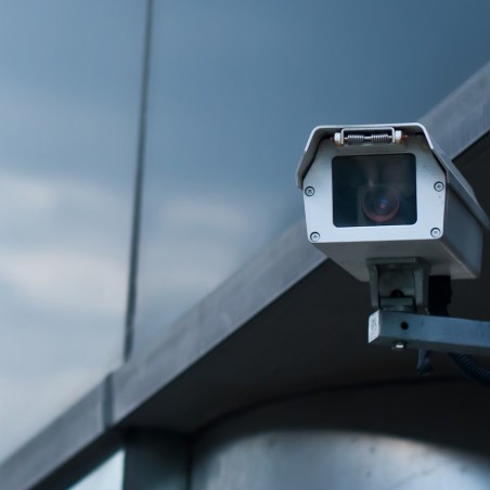
CONCRETE APPLICATIONSSurveillance & security
Public security / Law enforcement
The drone offers strategic tactical support to law enforcement and public safety operators thanks to its quick deployment and high performance optical sensors (EO/IR). The camera placed on the drone allows a global analysis of a specific situation and supports the teams' decision making on the ground. In addition, the data is collected in a secure manner and is encrypted to avoid any potential risk. The use of the drone also allows to secure the work of the operators on the ground, by guaranteeing that the intervention perimeter is free and by monitoring the various accesses. The drone is thus an undeniable tactical support for public order representatives’ security missions and a guarantee of safety in the exercise of their functions.
Fire fighting
Used by firemen and emergency services, the drone allows a very fast and efficient analysis of a disaster area or a risk area. Equipped with a thermal sensor, the drone will provide the responders with essential information, such as the temperature grid of a dwelling or a building or the search for the origin of the fire. With a drone dedicated to interventions in closed areas (such as the BRINC S from LEMUR), the drone can be used as a first responder to locate possible victims and guide firefighters in their intervention. Finally, the diversity of available payloads allows the integration of accessories under the drone that can complete the operators' missions such as a very powerful headlamp or a loudspeaker to communicate with potential victims.
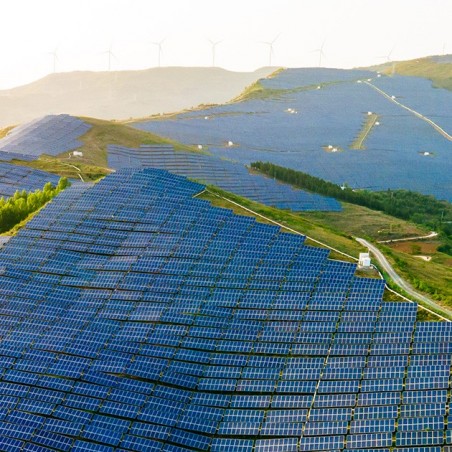
Surveillance of natural environments
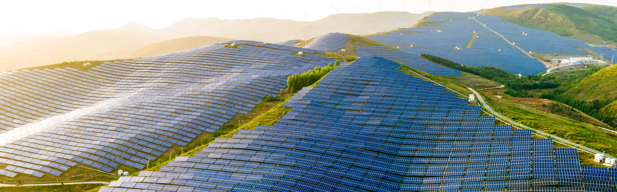
The electrically powered drone is an ecological and secure solution to monitor natural environments, often difficult to access. The drone can be used to analyze the impact of the environment on the area and to monitor the area and ensure its preservation. The drone will be able to detect the presence of poachers, to monitor the behavior of endangered species, to detect illegal fishing or even to note a illegal dumping of waste. Finally, the drone is compatible with various payloads that meet specific needs: an air pollution detection station, a thermal sensor to assess the progress of melting ice or a probe that monitors the condition of plants.
FIRE FIGHTING (FOREST FIRES, BUILDING FIRES):
- Public and private security
- Evaluation and inventory of potential risks
- Drone = decision-making and intervention management tool thanks to real-time video feedback
- Multiple high-performance payloads that can be adapted to any situation (thermal sensors to identify priority areas)
- Easily deployable tool
- Lower cost device compared to other existing solutions (helicopters for example) allowing to collect data at a distance from the danger
- Valuable aerial vision to have an overall view of the environment
LAW ENFORCEMENT
- Improved efficiency in the field (rapid information collection that allows almost immediate decision making)
- Gather essential information
- Ensure the protection of teams in the field
- Tactical support
- Identify more easily a suspect/target on the ground
- Discreet and fast tool
- Accessories available on some drones for operational efficiency (speaker, projector, strobe)
- Management of a more optimal situation while having less risk noted
- Security of collected data
SURVEILLANCE OF NATURAL ENVIRONMENTS
- Drone = ecological solution
- Sensors measuring the pollution present in the air
- Monitoring of endangered or threatened species
- Report the presence of poachers
- Illegal fishing
- Melting ice thanks to the thermal sensor
- Prevent a fire outbreak
- The drone can also embark probes to control the state of the vegetation
CONCRETE APPLICATIONSMaintenance & Inspection
The drone is an agile tool useful for infrastructure inspection missions. Drone inspection is generally used by construction companies, industry and insurance companies, transportation infrastructure managers. Professionals use drones to inspect the state of railroad lines, nuclear power plants, wind turbines but also port and airport infrastructures or mining sites for example in order to evaluate the state of these infrastructures. Being a fast and reliable tool, the drone can access places that are difficult to access for humans, so the ground team can operate without putting themselves in danger. The on-board sensors take high definition aerial pictures which is a major advantage in order to control the conformity of building's construction or demolition for example.
- Enables inspection missions in hardly reachable environments/locations
- Inspection of bridges, airport and port infrastructures, railroad lines, mining sites, nuclear power plants, wind turbines
- The drone is an agile tool
- Secure data collection directly from the ground
- Global view
- High definition aerial shots with high performance onboard cameras
- Drone inspection is generally used by construction companies, industry and insurance companies, transportation infrastructure managers
- The drone is a solution to inspect a defined area without the need to engage heavy financial means and without endangering the staff
- Conformity control of a construction
- Control of building's demolition

CONCRETE APPLICATIONSTransportation & emergency services
Search and rescue missions
Drones have been used for many years by emergency services to support their search missions for lost or injured persons. By positioning itself above a defined area, the drone can scan the area and locate the person(s) being searched thanks to its body temperature, day or night. Thanks to its small size and its easy handling, the drone can easily move on uneven grounds and difficult to access to operators (mountains, canyons...). Equipped with a loudspeaker, the drone can broadcast pre-recorded messages or speak directly to the victim to give him instructions and reassure him. Some drones are also capable of dropping more or less heavy equipment, such as a survival blanket, water, bandages... while waiting for the rescue services to reach the victim. The drones dedicated to these missions are capable of flying in degraded weather conditions and withstand strong winds.
Rescue and assistance services
Used by the emergency services, the drone allows a very fast and efficient analysis of a disaster area or risk area. Equipped with a thermal sensor, the drone will provide responders with essential information, such as the temperature grid of a building or an open area, or the search for the origin of the fire. With a drone dedicated to interventions in closed areas (such as the BRINC S from LEMUR), the drone can be used as a first responder to locate possible victims and guide operators in their intervention. Finally, the diversity of available payloads allows the integration of accessories under the drone that can complete the operators' missions such as a very powerful headlamp or a loudspeaker to communicate with potential victims.
Transport of equipment and various loads
Professionals can rely on a drone to transport equipment weighing up to several tens of kilos, whether it is first aid kits, medicines or water bottles for example. Do not hesitate to contact MILTON teams in order to define the most suitable drone for the load you wish to transport.
SEARCH AND RESCUE
- Ability to perform rescue missions on land and at sea
- Quick location of people in distress
- Delivery of medical equipment (vaccines, laboratory samples, medicines etc.) / first aid kit (defibrillator)
- Saves time during transport
- Facilitates operations at night or in dark environments: the drone can guide professionals on the route to take to reach their goal
DISASTER
- Supply of food after a natural disaster
- Search for people potentially trapped in the debris
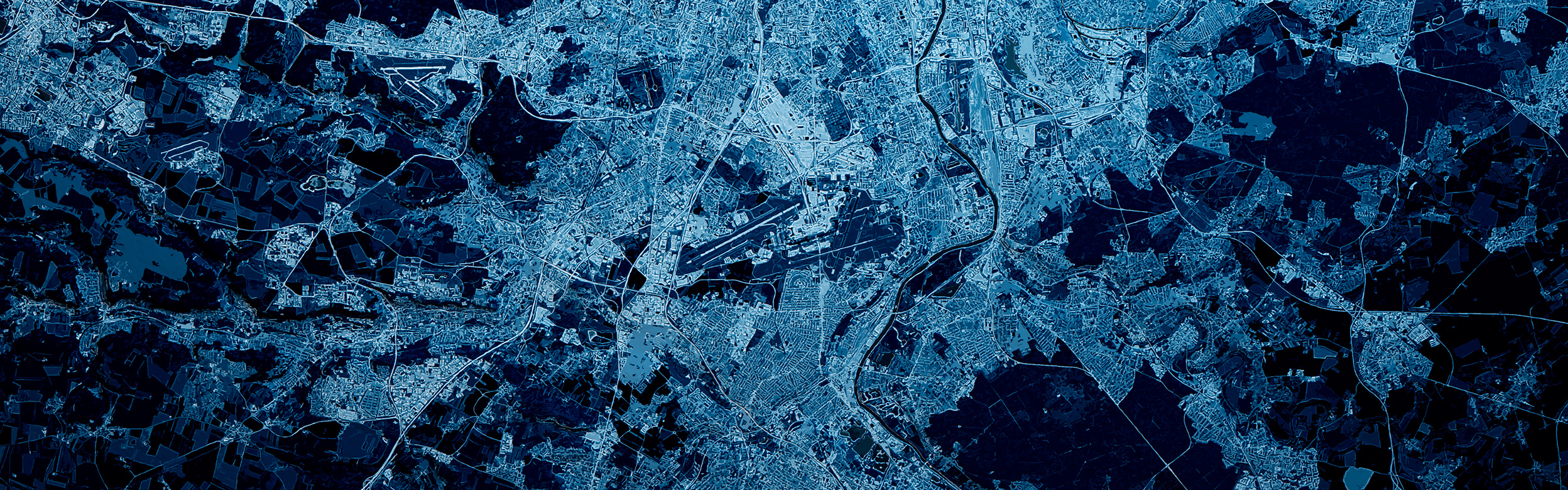
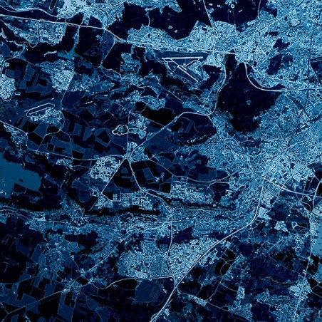
CONCRETE APPLICATIONSMapping & Surveying
The drone is an affordable solution for area mapping projects. Thanks to its aerial visualization and its various integrated sensors, the drone performs specific surveys that meet the needs of professionals. The drone represents a real added value to the mapping activities because the use of the latter allows a considerable saving of time: the surveys are carried out more quickly in extensive and difficult to access areas. The drone can embark sensors that meet the needs of photogrammetry and topography by performing accurate surveys that are then analyzed by dedicated software.
- Aerial visualization of a large area while taking readings
- Agriculture: with a multispectral camera, the drone can collect useful information for the management of plots to analyze the state of crops
- Creation of 3D maps with the relief of an area thanks to a dedicated software (principle of photogrammetry)
- LiDAR sensor: acquisition of 3D data in real time (3D point clouds) and capture of details of complex structures, providing 3D models after processing
- Topographic surveys